Book 1 of 4 — SM Datum Toolkit Series
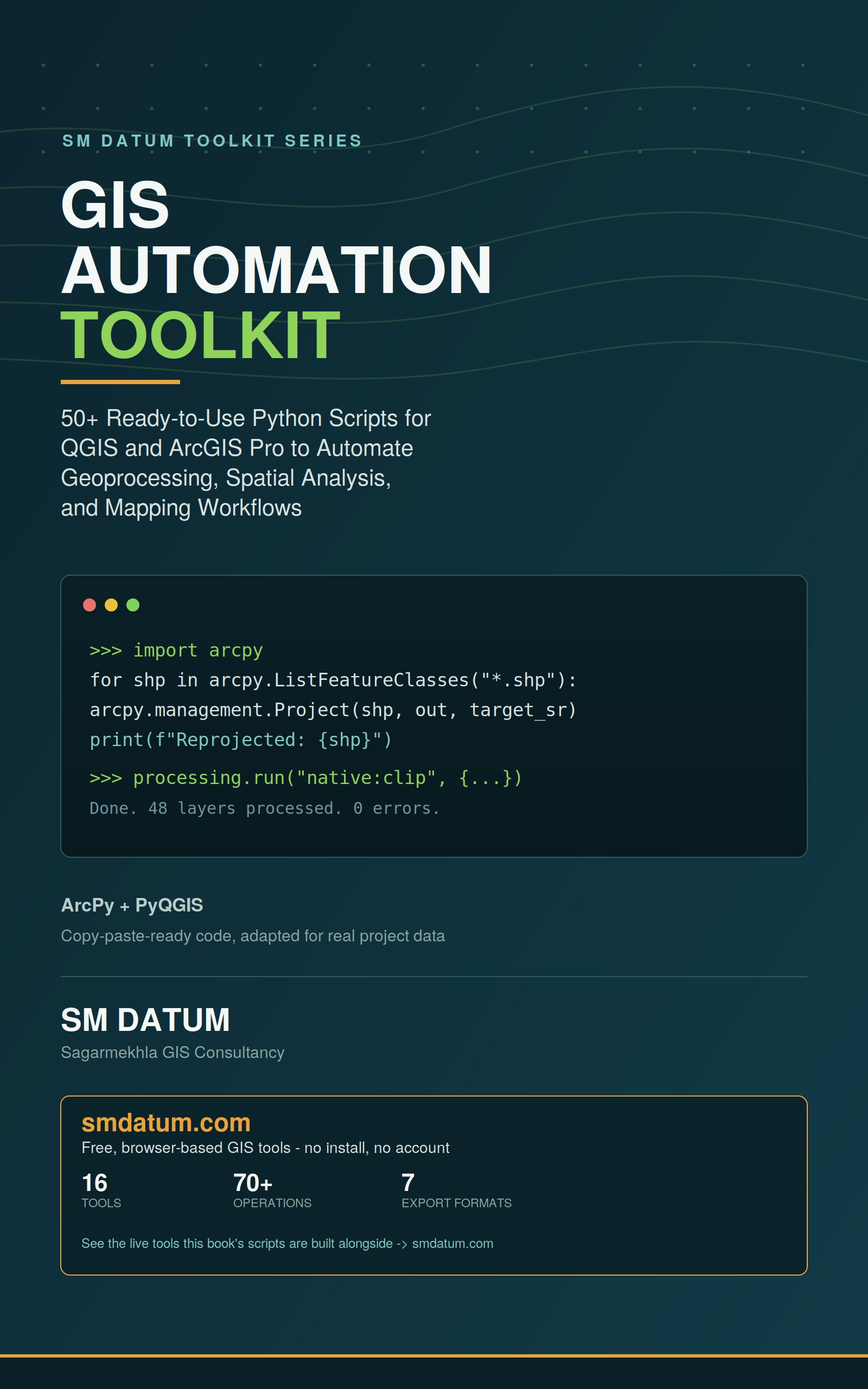
GIS Automation Toolkit
50+ working Python scripts, organized by task — batch format conversion, coordinate system detection and reprojection at scale, clipping/merging/dissolving across many files at once, attribute automation, spatial overlay, map layout automation, and topology QC. Every script that applies to both platforms is given in ArcPy and PyQGIS. Includes a beginner-friendly foundation section, so it works as a tutorial as well as a reference.
Part of the 4-book SM Datum Toolkit Series — see current series pricing on Amazon.